| 
|


 Droitwich Barge and Junction Canals - 4. Vines Park
Before and After Restoration Picture Gallery
Droitwich
Worcestershire
England
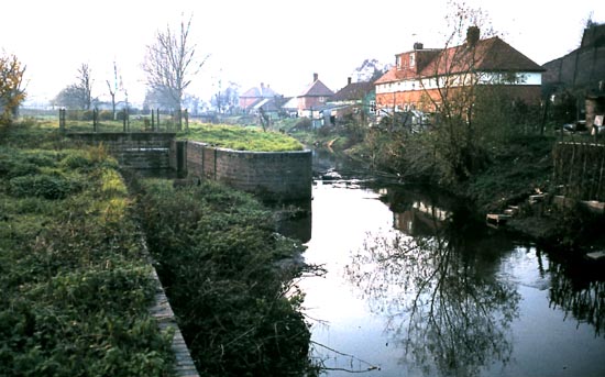
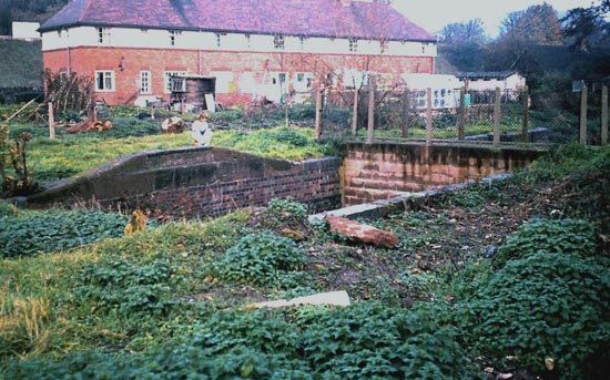
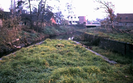
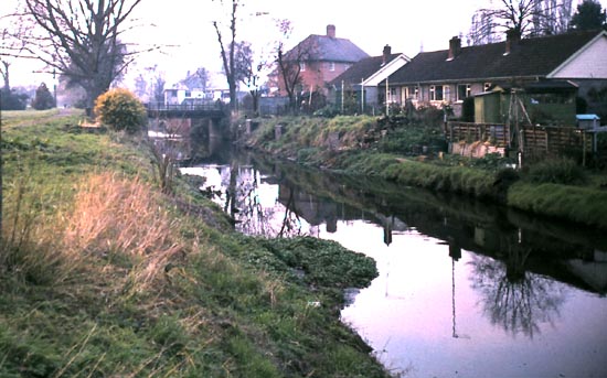
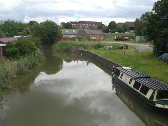
Droitwich Canal joins the River Salwarpe 1976
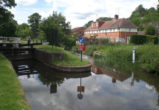
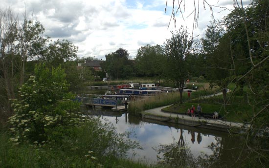
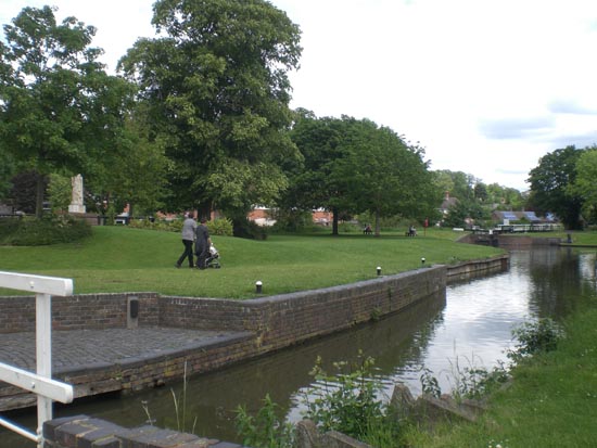
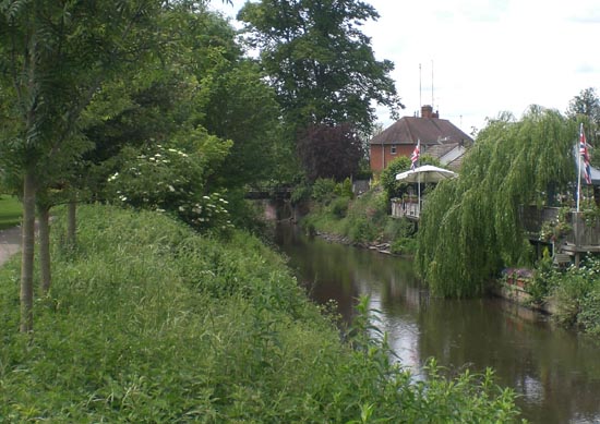
The same view as above 2012
Swing Bridge 1976
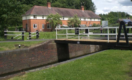
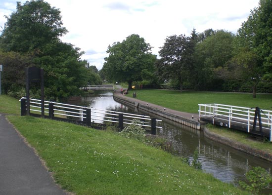
Swing Bridge 2012
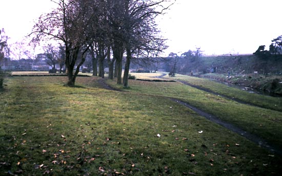
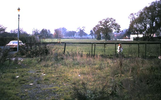
Vines Park, western end 1976
Vines Park, western end 1976, the new marina can be seen beyond the trees.
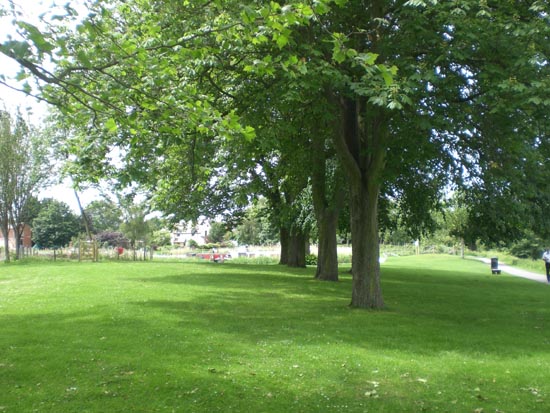
The new marina 2012
Bridge over the Canal Bed 1976
Bridge over the Canal Bed 2012
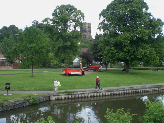
The Route of the Canal 1976, under the watchful eye of St. Richard.
The Route of the Canal 2012, still under the watchful eye of St. Richard.
The A38 Bridge 1976
The A38 Bridge 2012
Some Progress with Restoration 1983
More Progress with Restoration 2012, not sure about the lampost upgrade however.
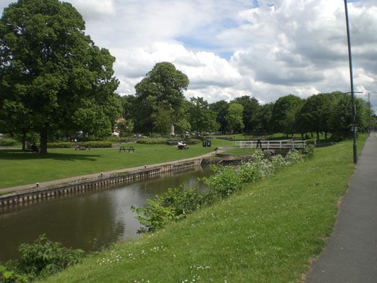
The Salwarpe through Vines Park 1976
The Salwarpe through Vines Park 2012
Canalside Refueling Station 1974
Canalside Refueling Station no more in 2012
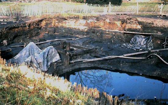
The Roman Salt Well on the line of the Canal 1984
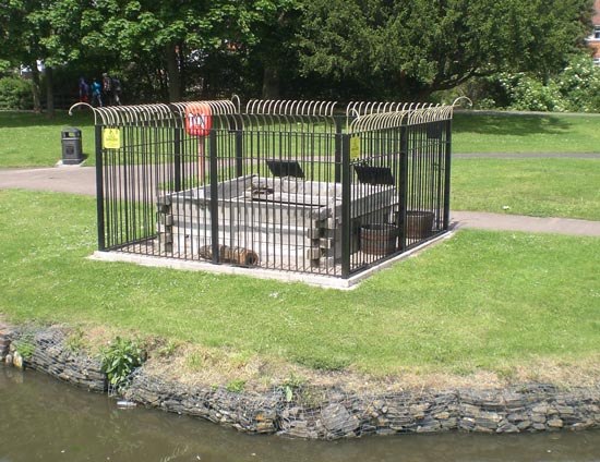
The Roman Salt Well on the line of the Canal now diverted 2012
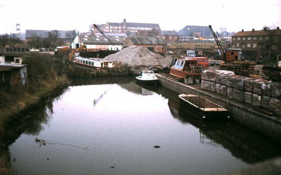
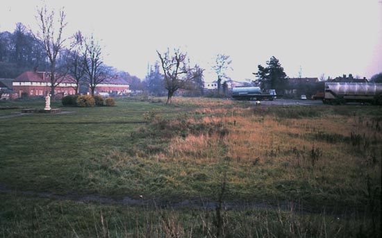
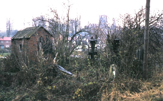
The Canal Trust Yard at the western end of Vines Park 1983
The Canal Trust Yard at the western end of Vines Park 2012
Website: Click Here
SUPPLEMENTARY INFORMATION
To return to the home page click website above
Sectors: (click to go to the sector pictures)

1) TOPOGRAPHICAL LOCATION:
England The Droitwich Canals
2) LANDSCAPE:
Built Up LocationInland Water
3) INFORMATION CATEGORY:
Industrial ArchaeologyHistory & Heritage
5) GENERAL VISITOR INFORMATION:
Access By RoadAccess On Foot
Accessible All Year